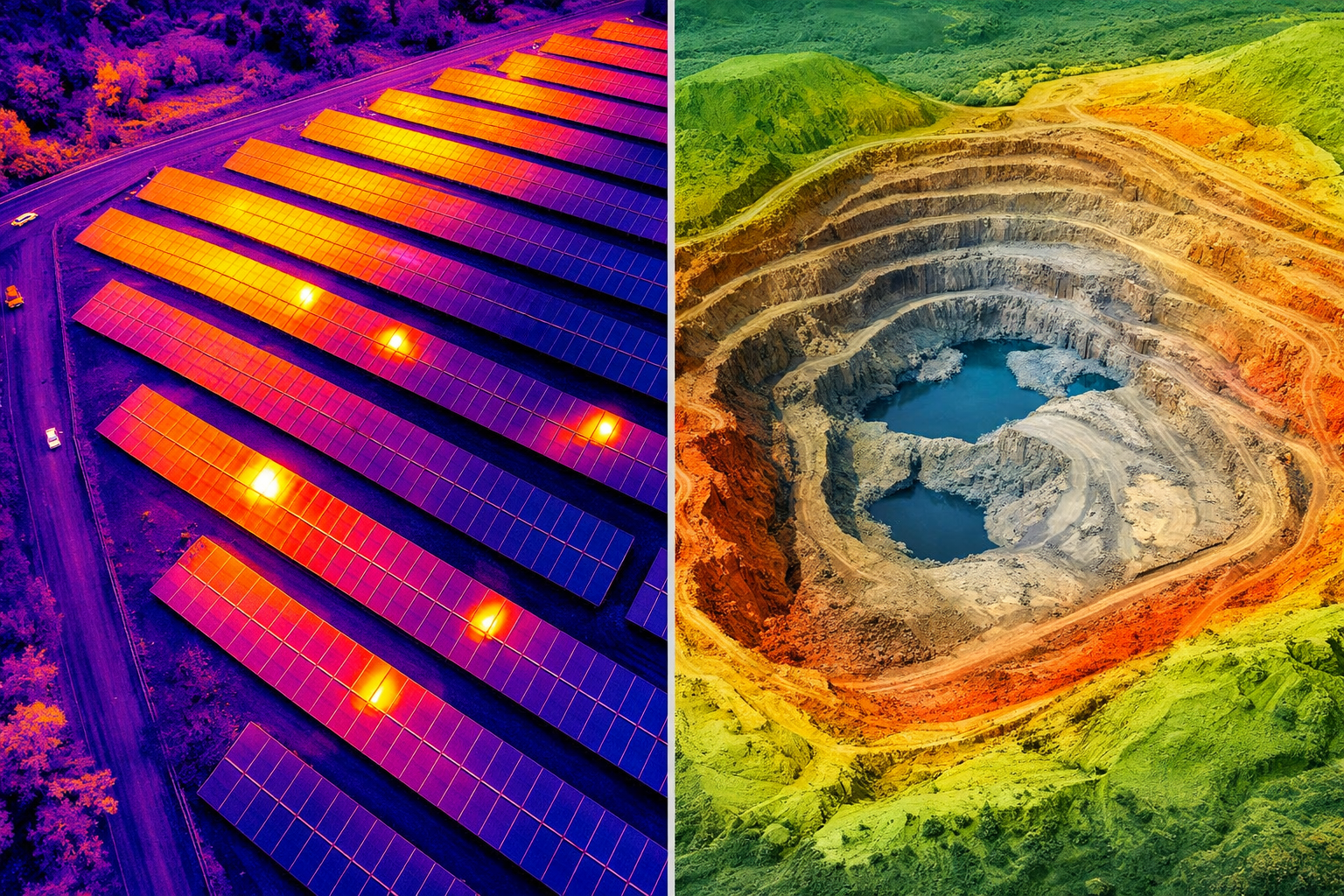
Aerial Surveys
High-accuracy aerial data capture with RGB, thermal, and LiDAR systems for solar farm inspections and geospatial intelligence.
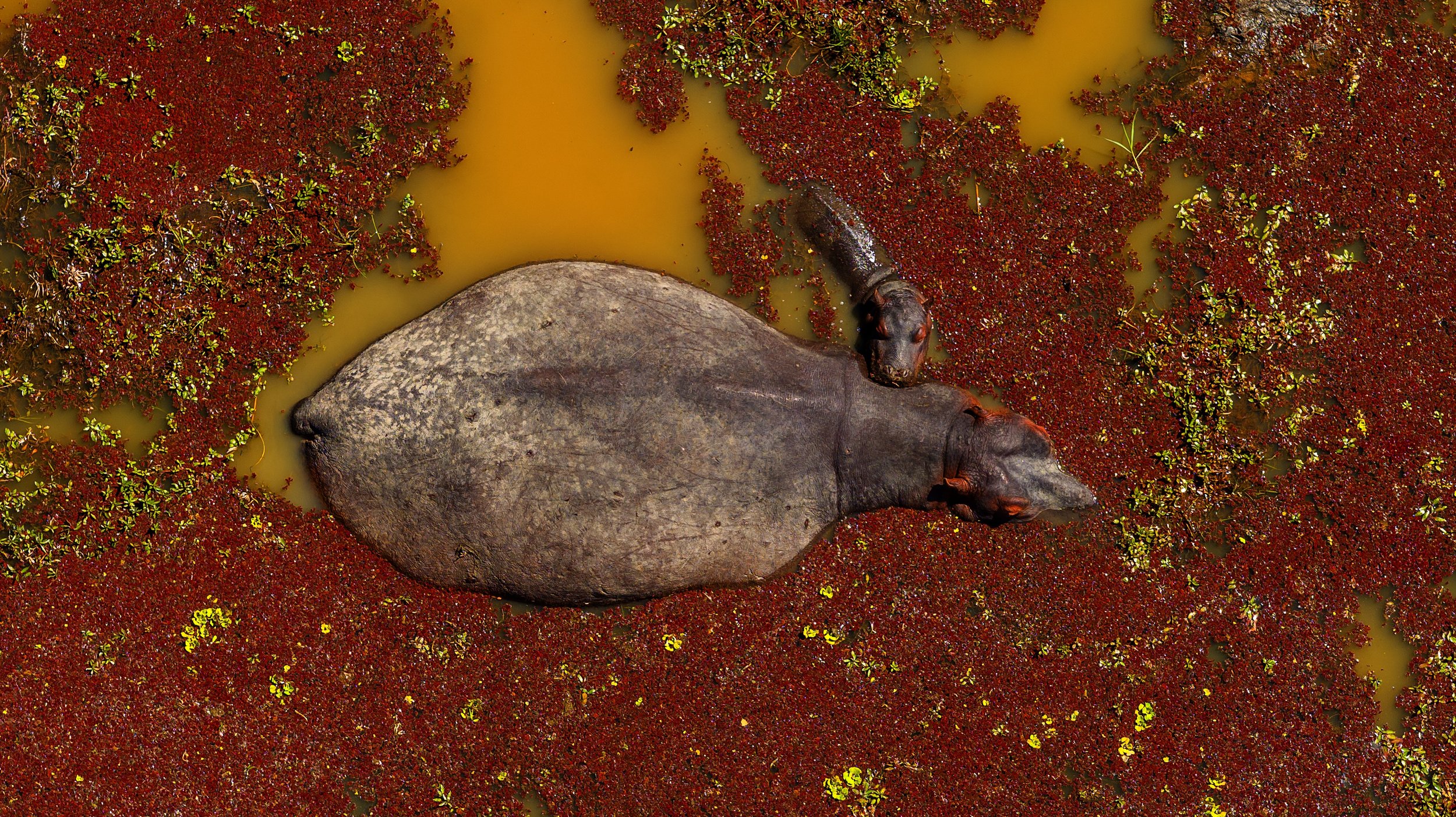
Aerial Videography and Photography
Cinematic aerial videography and photography in up to 6K resolution, trusted by high-end productions and premium brands.

Drone Hire
We facilitate the validation of international drone pilots under our Remote Operator Certificate (ROC) and provide fully compliant drone equipment to licensed crews. This streamlined solution reduces production costs, simplifies regulatory requirements, and ensures efficient, professional aerial operations.