Aerial Solutions
WE CAN COVER A LARGE VARIETY OF AERIAL WORK FROM PHOTOGRAPHY AND VIDEOGRAPHY TO SURVEYING AND MAPPING.
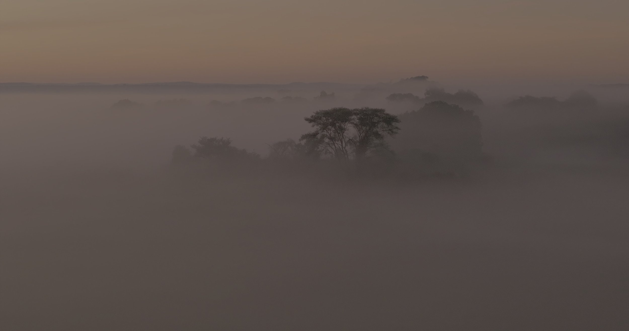
EXPLORE EVERY ANGLE
With stunning 4k and 6K quality results we can produce professional videos tailored to your needs. We have the knowledge and training to produce high quality work and have the whole shoot covered from storyboard to final edit.

CAPTURE HIGHLY ACCURATE DATA
Create maps for development or research purposes. Measure mine stockpile volumes, monitor rock bursts, water inflows and slope stability. Examine accurate elevation maps to better understand the landscape.